Hello and thank you for tuning in! This week, the adventurous spirit within me has brought me to the remote wilderness of the Nahmakanta Unit of the Maine Public Reserved Lands for what proved to be an exciting and inspiring overnight rendezvous with the lands Thoreau once referred to as "God's Country".
Driving into the wild lands proved almost as exciting as the rest of the adventure. As I leave the last glimpse of the civilized world in passing the Kokadjo Trading Post, and trade pavement for dirt, my adrenaline begins to rise. The bumpy and winding roads take me a good 25 miles into the heart of the forest, with views of remote lakes and mountains. The occasional bird or rabbit darts out before me. Every so often, I am reduced to crawl speed to navigate a particularly tricky area in which the road has been partially washed away, or a recently downed tree has blocked half the road.
After almost an hour of navigating windy dirt road by truck, I reach my destination, Fourth Debsconeag Lake. The weather proves beautiful, and Autumn is present in the colored leaves. I strap on my backpack and begin my journey down the Debsconeag Backcountry Loop.
As I walk the trail, I feel instantly refreshed by the fresh air and solitude. This is where I want to be. The wilderness in any form just tickles my soul in a way that is hard to explain, it is only felt in places like this. There is a fire in me, and when it starts to dwindle, when society and the world has it all but extinguished to just a few glowing embers, I step into the wild, and that fire is stoked and fueled into an inferno.
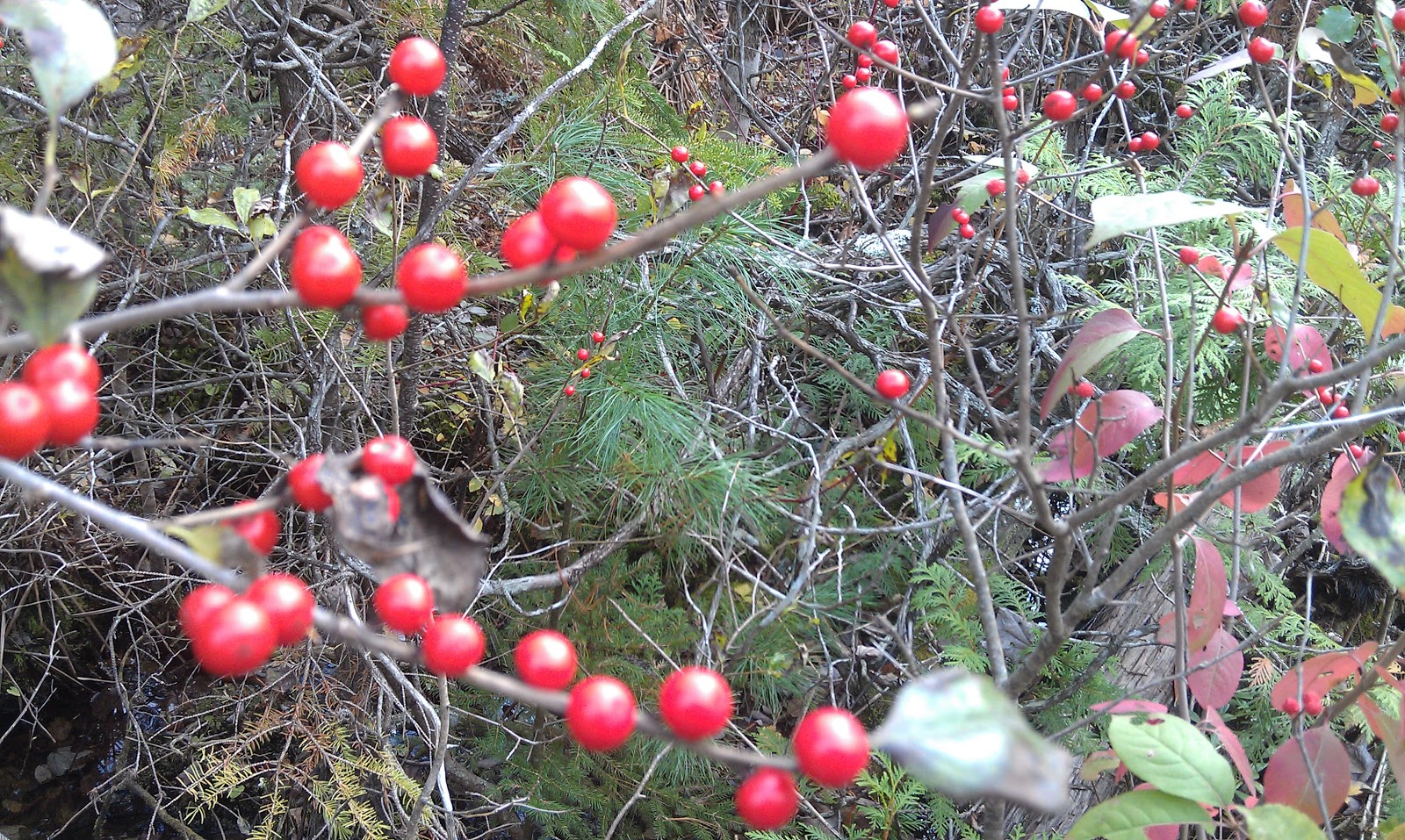
 |
| Hikers in this area are greeted by stunning streams and waterfalls |
I have chosen to bear right at the first fork, to head in the direction of Stink Pond and some of the farthest stretches of this back country. As I walk past Fifth Debsconeag Lake, I realize that this would be a great place to bring a fishing pole. I have not brought my fishing gear. My plans were for some great hiking, wildlife views, and solitude. It now hits me that I will be circling several hidden lakes and ponds, as well as crossing a few nice rivers. In fact, the translations for these places from the language of the Abenaki Tribe is "plenty of fish lake" and "ponds at the high place". I am sure the fishing would be incredible here.
 |
| A red squirrel poses at the first fork |
Hiking along the Debsconeag Back Country Trail brings me through deep wooded, primitive trail. A lot of these woods are young, this area having been heavily logged over the years. Occasionally, I pass some evidence of the loggers, like at stream crossings where pins remain in rock, or where a portion of the lake remains dammed with earth. The loggers used to use these dams to flood the streams and lakes to move the timber along down the Penobscot River, eventually arriving at the mills.
The woods here, I noticed, are very green with mosses. It gives it such a lush appearance. It makes for a striking image at this time of year, with the contrast of the Fall colors. Dark, vivid green of mosses and pine, dotted with leaves of bright red, yellow, and orange. I could paint canvas for years and never quite capture the beauty the natural world has set before my eyes.
 |
| One of many stream crossings |
Hiking along side the aptly named Stink Pond, I begin to really notice the wildlife. Various birds hop around the trees above. Many squirrels making it well known they don't like having me around. I also begin to really observe the signs of wildlife. Footprints galore. Many areas of scat, I identify some as being moose and bear droppings, both of which I hope to see. At a safe distance would be preferred! Due to the many crunchy leaves I am walking on, I am probably loud enough that a close encounter is unlikely.
 |
| Claw marks on bark |
I begin to ascend to the ridges above Stink Pond, where the forest begins to loosen up a bit. The added sunlight from the openings in the canopy make the Fall colors really pop. It's a bit of a climb, working up a little sweat, but with nice reward. Finally reaching the ledges above, I am met with some nice views of the surrounding area. I spend some time here to catch my breath and marvel in the awesomeness of the mountains before me.
 |
| Jo Mary Mountain and Furrar Mountain in the distance |
After passing through another stand of colorful trees, the path opens up to more ledges, and more views. I meandered through the cairns to an overlook that offers me a view of some ponds below. I observe the marshy ponds from my perch, and almost fall over in my excitement as I notice what appears to be movement! Trying not to jump to conclusions, I fumble through my backpack in search of my binoculars.
Fixing the view on my target, I am happy to say that I was correct, and that I was now watching a female moose, or "cow moose", in her most natural habitat! I watch for some time, as she grazes, and looks around, then returns to the marshy water she stands in. What a sight! I wait for a bull moose to come, which would be inevitable, but I could only wait so long, there's many miles to be covered, and I was more than content with what I have witnessed.
 |
| Moose! |
So I leave the large yet graceful beast to her routine, and I march forward. I dip into a large gap, passing more streams and dense forest. While I see many signs of wildlife having been in the vicinity, I hear nothing. Just the crunch of my own feet. I find it very peaceful.
Reaching the other side of the gap, I begin to climb again, reaching views this time of the beginnings of a mountain I will be climbing on this trip, Nesuntabunt Mountain. The slopes are lit with Autumn colors.
 |
| Nesuntabunt Mountain |
I descend from the hills, making my way past the very remote Seventh Debsconeag Pond, Then the larger but equally remote Sixth Debsconeag. The sun is beginning to drop behind the peaks, and the light begins to fade from the valley. I pick up the pace to ensure I reach my destination before dark.
 |
| Nahmakanta Lake |
Reaching the 3.5 mile long Nahmakanta Lake, I seek out and find an area suitable for camp. I start a fire, pitch my tent, then sit by the rocks along the shoreline, and wonder how such a large and inviting lake has managed to avoid being completely surrounded by log cabins and camps. I eat my oatmeal, and stare at my fire for a short time before the darkness surrounds me. Feelings of bliss and loneliness compete for my thought in the solitude of the night. Exhausted, I leave the thoughts outside as I crawl into my tent, and quickly fall asleep to the sounds of waves lapping the shore.
The next morning arrives suddenly with the realization I had overslept a bit. The cloudiness, paired with being deep in a valley, kept the sky somewhat dark and was the cause of my not waking. I don't mind the clouds, since the forecast had been for rain and currently it was just clouds with no rain.
Expecting rain at some point, however, inspired me to pack my gear and head out without much haste. leaving the Debsconeag Back Country Trail, I cross a bridge to take the 3/4 mile West Trail.
The West Trail is a short but exciting trail, quick ups and downs, as I pass huge glacial boulders that teeter on edges, dripping with various shades of green mosses and lichens. Toward the end of this trail is Rainbow Stream, a fast moving, shallow yet wide vein of mountain water. There is no bridge, so I begin to ford the river. It is fairly shallow with a few large rocks to step on, so I leave my boots and socks on and head across. Well, it turns out my waterproof boots aren't so waterproof anymore, as I feel my wool socks sponge and I cringe as the ice cold water hits my skin.
I come out at a jeep road, and I sit at a bridge to change out my soaked socks for dry ones. Crossing the bridge, I come to the entrance of a section of the Appalachian Trail. I begin down it, heading Southbound.
 |
| White blazes mark the Appalachian Trail |
The Appalachian Trail, or AT, holds very much special significance. It runs from Georgia all the way to Maine, running along the spine of the Appalachian Mountains. It amazes me that people had just past through here, hiking on the very dirt I am hiking, who have come more than 2,000 miles to get here. And people before them have done the same, year after year, for decades. I will be attempting this myself in the near future. But for now, I just revel in the privilege to hike just a sliver of this unbelievable and significant corridor of land.
The AT here runs along Pollywog stream, and begins to climb to the top of Pollywog Gorge, 300 feet wide and walls over 180 feet deep . The thick clouds and fog really dull the visuals a bit. The beautiful colors of yesterday don't quite "pop" as much today, without as much sunlight. It is all so beautiful still, just in a different way. A whole new pallet of impressiveness.
As I look down into the Pollywog Gorge, I am reminded of that. The forces of water and wind have set forth and shaped this land into a wide variety of amazing landscapes. And here I peer into a fine example of this.
 |
| Pollywog Gorge |
The trail loops around Nahmakanta Lake and takes me up to a minor summit (the translation of the mountain is "three heads", in reference to the several peaks) of Nesuntabunt Mountain, an elevation of around 1600 feet. A strenuous climb, it began to drizzle on my ascent. The light rain was welcome, as it cooled me and felt refreshing. Unfortunately, from the summit I could have seen astounding landscape views, including a view of Katahdin, Maine's tallest mountain. Instead there is just walls of gray fog and clouds. I can barely make out the ripples of waves in the huge lake below me, but that's it. So, as the drizzle changes to a hard rain, I begin the long trek off the mountain, along the opposite shore of the long lake, and toward my journey's end.
 |
| My view, or lack there of, from the summit |
As I close out my final miles of trail, I am a bit cold, very sore, and drenched in rain. I am thirsty and tired. I look forward to a hot shower, a hot meal, and a warm bed. As the sun sets around me, and the rain picks up, I cross my final stream, and the end is in sight.
As finished as I am, there is a part of me that never wants to leave. There is that part of me that loves the back country so, that is driven by the curiosity, the beauty, and the challenges. I feel something special out here. A drive. There is so much for me to learn, to see, and to experience.
At the least, I know I get to come home and relive my journey through word. As I type this, i feel that flame burn warm inside. Many passions of my life come together, and I embrace it.
And I know, when the burdons of life bring my internal blaze back down to flickering embers, I will return to the wild again.
To learn more about the Debsconeag Back Country area, visit
http://www.maine.gov/cgi-bin/online/doc/parksearch/search_name.pl?state_park=&historic_site=&public_reserved_land=60&shared_use_trails=&option=search
To learn more about the Abenaki language, you may visit
http://www.cowasuck.org/language/language.htm